Towards Cleaner Air in Stockton: Part 2- emissions from shipping, transportation, and commercial cooking
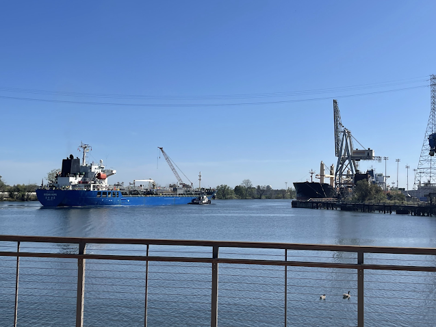 |
| Photo taken by Courtney Turkatte on 3/24/22 at the Port of Stockton |
Part 2 focuses on shipping, transportation, and cooking related emissions in the Stockton AB 617 area. Check out these StoryMaps:
Shipping Activity Emissions: for the Port of Stockton, students used ship traffic data to estimate that the Port’s emissions increased by 30% from 2018 to 2021
Trucking Emissions: analyzing truck routes in Stockton, students found that 63% of people within the AB 617 boundary live within 0.1 mi from a truck route, leading to high exposure from diesel truck emissions, compared to only 38% for Stockton overall; this team also created resources for truckers.
Commercial Cooking: commercial cooking contributes to an estimated 25% of the total emission of PM2.5 in Stockton; this team created accessible resources for restaurants to follow to apply to the Restaurant Charbroiler Technology Partnership (RCTP) to reduce their emissions.
Electric Vehicle (EV) Workforce Development: this team explored strategies to train EV mechanics to support growth of EV infrastructure in Stockton, so that Stockton can take the lead in the transition to EVs.
A link to all 12 projects can be found here.
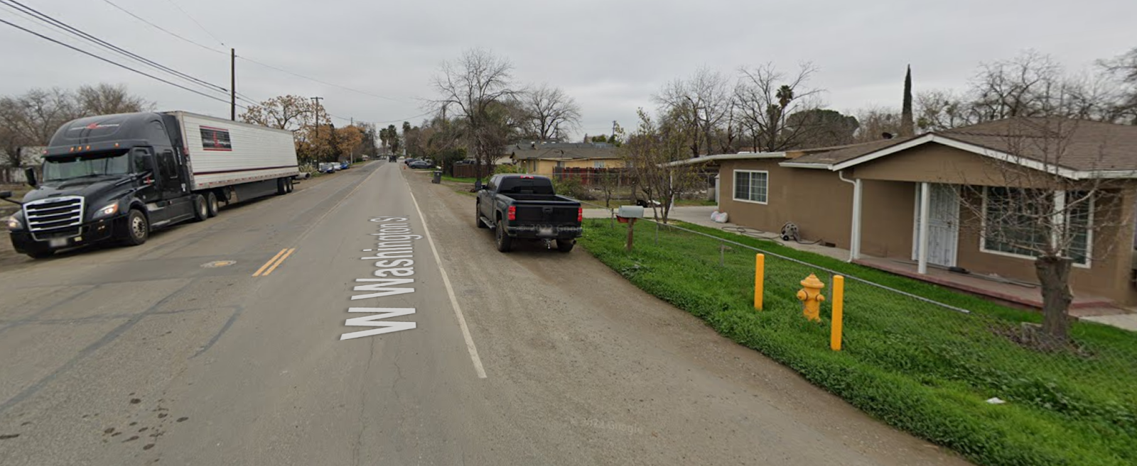 |
| This figure shows the case of an STAA truck not following the truck route map developed by the City of Stockton for Cal Legal truck routes, traveling in a residential neighborhood, Source: Google Maps
|